Other Pages
- Opinion Poll
- About Us
- Send Your Story
- Contact Us
- Newsletter
- Privacy Policy
- Terms and Conditions
Dan Musa 2023 Presidential Election Results
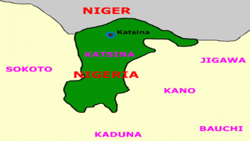
Dan Musa is a Local Government Area (LGA) situated in Katsina State, Nigeria. The administrative headquarters of Dan Musa LGA is situated in the town of Dan Musa.
Dan Musa LGA covers a land area of approximately 792 square kilometers. According to the 2006 census, the population of Dan Musa LGA was estimated to be 113,691 inhabitants. The postal code of Dan Musa LGA is 821.
Some of the major towns and villages within Dan Musa LGA include Yan Tumaki, Yashi, and Wurmawa. The most prominent ethnic group in Dan Musa LGA is the Fulani ethnic division. However, there may also be other ethnic groups present within the local government area. The Fufulde language is commonly spoken among the inhabitants of Dan Musa LGA, reflecting the cultural heritage of the Fulani ethnic group.
No one can narrate our story more authentically than we can. We aim to see our community prosper and create a precise historical account for future generations. You have the opportunity to enhance Allnews Nigeria Explore by actively participating in our historical documentation. Earn points by contributing to the progress of our Nigerian community Documentation.
Sign up to begin